With the increasing focus on sustainability and environmental health, various open source projects have emerged to assist in environmental monitoring. Two prominent projects in this domain are OpenStreetMap and SensorTune. This article will compare these two open source initiatives, analyzing their methodologies, functionalities, pros and cons, and applications in environmental monitoring.
OpenStreetMap Overview
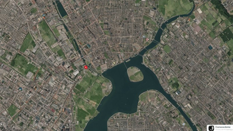
OpenStreetMap (OSM) is a collaborative mapping project that creates a free editable map of the world. It allows users to contribute geographic data, enabling mapping for various purposes, including urban planning, disaster response, and environmental analysis. OSM harnesses the collective input of volunteers who utilize GPS devices, aerial imagery, and other tools to map infrastructure, natural features, and more.
Pros of OpenStreetMap
- Community-driven: OSM relies on contributions from users across the globe, leading to rich and diverse data.
- Cost-effective: Being free and open-source, OSM can be accessed and utilized by anyone without financial burden.
- Flexibility: The platform can support various applications beyond just environmental monitoring, such as tourism, public transportation mapping, and more.
Cons of OpenStreetMap
- Data Reliability: The accuracy of data can vary based on the contributors, resulting in inconsistencies.
- Steep Learning Curve: New users may find the tools and methodologies intimidating.
- Limited real-time data: OSM does not inherently provide real-time environmental data; it requires manual updating by contributors.
SensorTune Overview
SensorTune is a specific open source project focused on environmental monitoring through the use of sensors. It enables the collection, visualization, and analysis of data from environmental sensors, including air quality monitors, temperature sensors, and humidity sensors. The platform allows users to develop custom applications that leverage real-time data to support decision-making in environmental policy and community engagement.
Pros of SensorTune
- Real-Time Monitoring: SensorTune facilitates immediate access to environmental data, which is crucial for timely responses.
- Data Visualization: The platform offers advanced data visualization tools, making it easier to interpret complex datasets.
- Integration: SensorTune can integrate with various sensor types and can be adapted for specific environmental monitoring needs.
Cons of SensorTune
- Technical Expertise Required: To effectively use SensorTune, users may need technical skills in programming and system setup.
- Limited Data Types: The project primarily focuses on sensor-based data, potentially excluding other valuable environmental information.
- Resource Intensive: Setting up and maintaining sensor networks can require significant resource investment in terms of hardware and connectivity.
Use Cases of OpenStreetMap and SensorTune
OpenStreetMap Use Cases
OSM has been utilized in various environmental applications, including:
- Disaster Response: Organizations use OSM to quickly map areas affected by natural disasters, allocating resources effectively.
- Sustainable Urban Planning: City planners leverage OSM data to make informed decisions about development, green spaces, and transportation.
- Biodiversity Mapping: Researchers use OSM to map ecological areas and document biodiversity by incorporating data from wildlife surveys.
SensorTune Use Cases
SensorTune's applications are focused on real-time monitoring and analysis, including:
- Air Quality Monitoring: Cities deploy SensorTune with sensors to monitor air pollution levels continuously.
- Climate Change Initiatives: Organizations track environmental parameters in real-time to assess the impact of climate change on local ecosystems.
- Community Engagement: SensorTune allows communities to visualize their environmental data, fostering awareness and action towards sustainability.
Conclusion
Both OpenStreetMap and SensorTune present valuable tools for environmental monitoring, but they serve different purposes. OpenStreetMap's strength lies in its collaborative mapping capabilities and broad data applications, while SensorTune excels in real-time sensor data management and visualization. For organizations or individuals seeking comprehensive geographic data that can be utilized across a wide range of applications, OpenStreetMap is a suitable choice. Conversely, for those focused on immediate environmental monitoring and data analysis, particularly involving sensors, SensorTune offers specialized capabilities. Ultimately, the choice between OSM and SensorTune hinges on specific monitoring needs and resource availability.